6000 Years of Human History: Major Historica Map Update
Second Edition Update
Several months ago, we presented the first complete edition of 6,000 Years of Human History—a milestone that marked the culmination of extensive research, design, and development. At the time, we felt the map had reached a level of quality and completeness worthy of public release.
Since then, we have continued refining the project, incorporating new research, addressing inaccuracies, improving visual clarity, and expanding historical coverage. The result is a significantly enhanced second edition that offers a richer, more accurate, and more immersive view of humanity's past.
Explore World History with the New Improved Historica Interactive Maps
We are excited to introduce this new iteration of Historica maps, featuring a range of major improvements designed to make the exploration of world history more informative, intuitive, and engaging.
This is a fully redesigned version of our historical maps, covering the period from 4000 BCE to 2000 CE. Representing the largest update in the Historica project, it is also one of the most detailed and large-scale sets of historical maps in the world.
- Rivers as Natural Borders
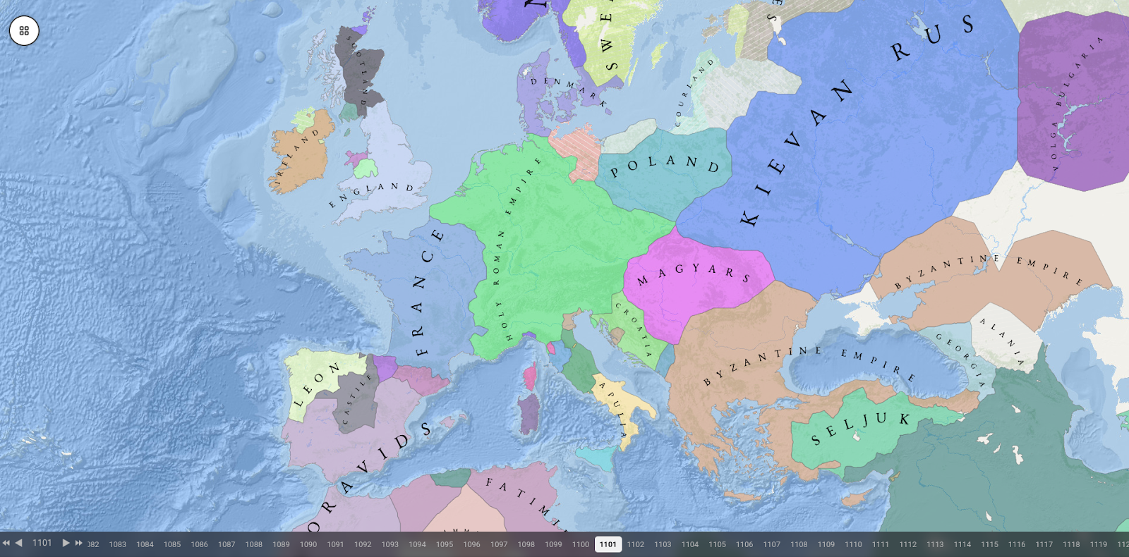
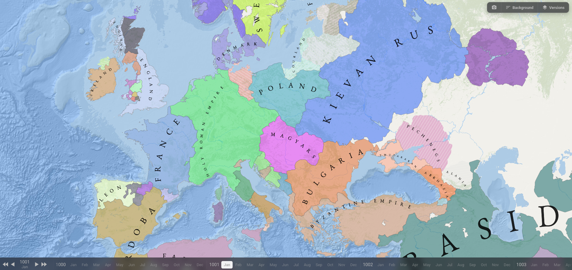
Our maps now prioritize rivers as state boundaries whenever historical and geographical evidence supports their use. Throughout much of human history, rivers have served as natural barriers, trade routes, and cultural dividing lines, making them some of the most common and enduring borders between political entities. This change results in maps that more accurately reflect the realities of historical territorial organization. - Improved Geographic Analysis
We have implemented more sophisticated algorithms for identifying and measuring geographical features. These enhancements provide a more accurate representation of terrain, coastlines, river systems, and other natural features that influenced the development of human societies and states. - More Accurate Classification of Political Entities
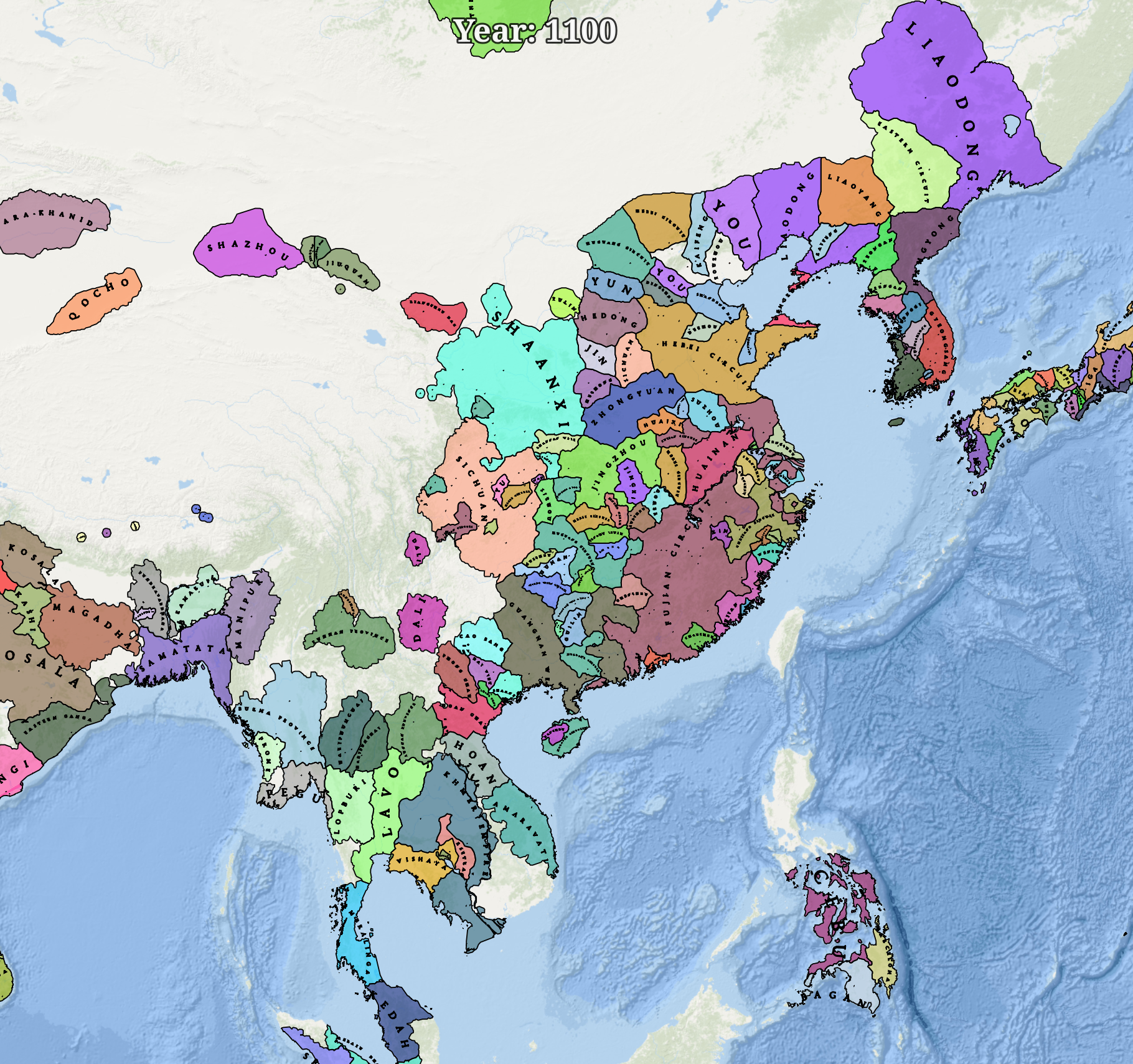
Improved classification of geopolitical entities between states and pre-state societies. We now use multiple criteria to distinguish fully developed states from decentralized societies lacking centralized authority. - Comprehensive User Interface Enhancements
Navigating the maps is now smoother and more intuitive. Improvements include a redesigned date selector for easier exploration of historical periods, enhanced screenshot tools, and a revamped layer selection system that makes it simpler to customize the information displayed on the map. - Backend Optimization and Performance Improvements
Significant work has been carried out behind the scenes to improve overall performance. These backend optimizations result in faster loading times, smoother interactions, and a more responsive experience across the entire platform.
Preview of the Next Update: Historical Towns and Cities Layer
The Towns Update
Our next major update will introduce a comprehensive places layer that forms the foundation of our historical maps. With this update, users will be able to explore the settlement network directly and gain a clearer understanding of how human populations were distributed across regions and historical periods.
To maintain visual clarity, settlements will be grouped by historical size and importance, with visibility adapting dynamically to zoom level. This approach allows us to present a much higher level of detail without overwhelming the map, preserving both readability and performance while offering a richer view of the historical landscape.
The Regions Update: Improved Historical Regional Maps
After the Towns Update, we will begin rolling out our improved historical region maps. We previously shared a prototype of these maps, and we are now preparing to build and upload a full series covering 1,000 years of history from 1000 to 2000 CE.
These updated region maps will include all major improvements from our main world history maps, including river-based borders and enhanced geographical feature accuracy. This will ensure a consistent and detailed representation of historical regions across all time periods and map layers.
The Events Update: Interactive Historical Events Map
The Historica Foundation was never intended to be just a static map library. Alongside our historical layers, we have been developing an interactive events map, which will become the next major update to the project.
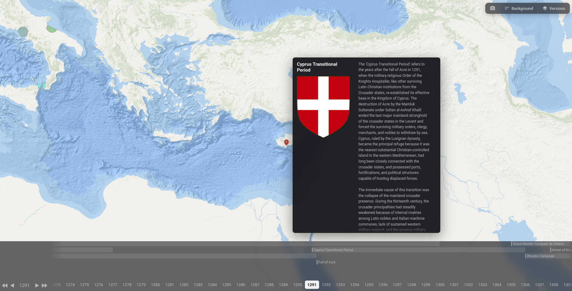
This feature will allow users to explore key historical events in a dynamic way, showing how major developments unfolded across time and geography. A preview of this system has already been hinted at through the example of the Order of Malta, offering an early glimpse of how events will be visualized and connected within the platform.
The Events Update represents a major step forward in transforming Historica into a fully interactive system for exploring world history.
Conclusion: The Future of Interactive World History Maps
With the release of the second edition of 6,000 Years of Human History, we are continuing to refine and expand Historica into one of the most detailed and interactive world history map platforms available today. Each update builds toward a unified system for exploring human civilization through geography, political development, settlements, regions, and historical events.
From improved map accuracy and river-based borders to more advanced classification of states and pre-state societies, these enhancements significantly improve both the historical fidelity and usability of the platform. Upcoming features such as the Towns Update, Regions Update, and Events Update will further deepen the experience by adding detailed settlement data, long-term regional history, and fully interactive event-based visualization.
Together, these improvements move Historica closer to its main goal: creating the most comprehensive and accessible interactive historical atlas of human civilization, allowing users to explore how the world has changed over thousands of years in a clear, engaging, and data-driven way. Stay tuned!