Transforming Historical Maps with AI
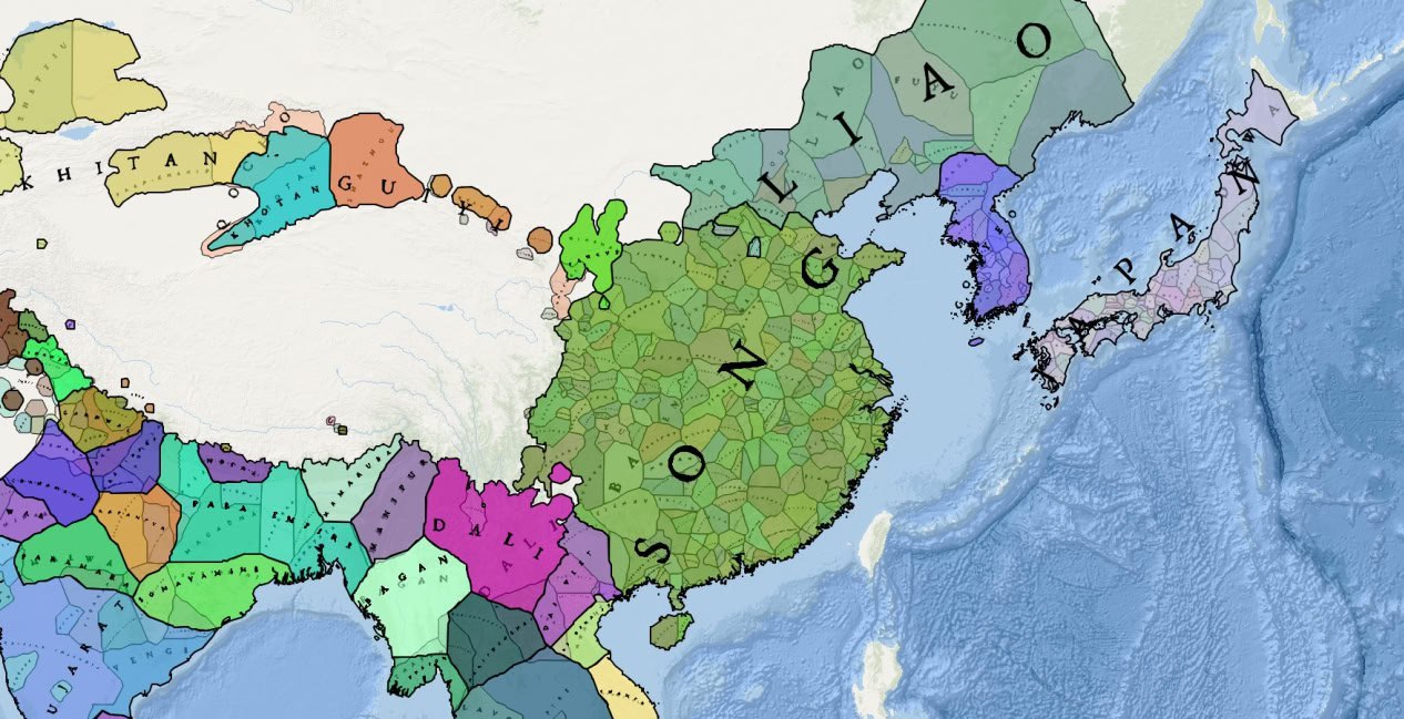
Today, we delve into the compelling convergence of AI, digital humanities, and history by examining how these technologies are transforming our methods of visualizing and analyzing historical data. This review highlights five leading applications featuring interactive historical maps, demonstrating the innovative ways AI is revitalizing the study of history. These tools showcase the powerful impact of AI on historical research, making complex data more accessible and engaging for scholars and enthusiasts alike.
GeaCron
GeaCron offers an interactive map with a timeline, allowing users to track changes in country borders over time.
Key Features:
- Interactive map
- Timeline (year selection)
- Paid extended version with 3D maps and historical contexts (politics, art, science, religion)
GeaCron provides extensive historical data, though most features are available only in the paid version. Data has not been updated since 2022, which may be a drawback for users seeking the most current information.

Running Reality
Running Reality focuses on real-time animations of boundary changes, offering a dynamic way to observe historical events.
Key Features:
- Interactive map
- Timeline with daily selection
- Filters and search
- Hashtags for quick search
- Open documentation and data upload capabilities
The interface is engaging, and real-time data updates are a highlight. However, not all historical data is accurate, which could confuse researchers.

Old Maps Online
Old Maps Online allows users to search for old maps by region and time period, overlaying them on modern maps.
Key Features:
- Map and location search
- Timeline (year selection)
- Interactive map
- Overlay of historical maps on modern maps
- Wikipedia integration for historical context
This application offers unique visualization capabilities, making it indispensable for historians and enthusiasts. However, the interface can be complex for new users.

Ostellus Atlas
Ostellus Atlas provides an interactive map with filters for time and events, along with detailed event information.
Key Features:
- Interactive map
- Timeline with daily selection
- Filters and information windows
- Interactive timeline visualizing major historical events
- Wikipedia integration
Ostellus Atlas excels with its visual timelines and comprehensive event integration, making it a powerful tool for historical research. However, data for lesser-known events can be limited.

Better Maps
Better Maps offers modern interactive maps with a comprehensive database for detailed historical analysis.
Key Features:
- Interactive map
- Timeline
- Filters and information windows
- Data upload capability
Better Maps provides robust tools for analyzing historical events, utilizing AI to enhance maps. The application is paid but offers a trial period to evaluate its features.

Final Thoughts
Our analysis reveals that while not all applications deeply integrate AI, they collectively demonstrate AI's transformative potential in digital humanities. These technologies not only simplify the analysis of historical data but also open up new research opportunities. Combining AI with historical maps offers a fresh perspective on the past, making it more accessible and engaging. Stay tuned for more insights on how modern technology is reshaping our understanding of history!


